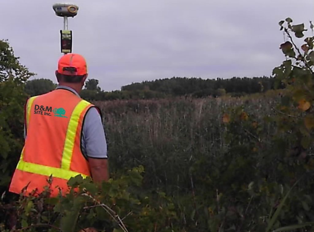
D&M SITE, Inc. offers a range of surveying services to meet your needs. Quotes for these services vary depending on size, terrain, shape and travel distance to the property.
Boundary Survey – retraces or establishes the true property corners and property lines of a parcel of land. Boundary surveys are typically performed for transfers of real property, to obtain building permits, to resolve property disputes, and for erecting fences. Easement lines may also be located, if requested, with this type of survey.
Floodplain Survey – determines the elevation of various sections of a building or land. Typically, these are used to aid in building plans and to determine if a property is in a flood zone.
Are you paying flood insurance? D&M may be able to help you! We can perform a floodplain determination of your property in an attempt to get you removed from the floodplain. Floodplain surveys for residential property in Saginaw, Bay or Midland County are $625. That price includes the Letter of Map Amendment (LOMA) Removal documents submitted to FEMA, if the elevations support it.
Construction Staking – measurements made prior to or while construction is in progress to control elevation, horizontal position, dimensions, and configuration (e.g. stakeout of line and grade for buildings, fences, roads, etc.)
ALTA/NSPS Land Title Survey – survey made for the purpose of supplying a title company and lender with survey and location data necessary for the issuing of title and/or mortgage insurance. A detailed map is required to meet “ALTA” specifications.
Topographic Survey – survey locating natural and man-made features such as buildings, improvements, fences, elevations, land contours, trees, streams, etc. This type of survey may be required by a government agency, or may be used by engineers and/or architects for the design of improvements or developments on a site.
Subdivision/Condominium Survey – also known as a “Subdivision Plat”, it is the subdivision of a tract of land into small parcels, showing monumentation and mathematical survey data on a map, conforming to local government (usually county) ordinances.
